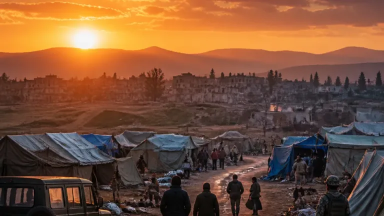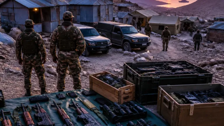
Manipur’s international border with Myanmar, a stretch of 398 km that traverses five hill districts, has emerged as a critical security vulnerability as the state’s long‑running ethnic conflict acquires an increasingly cross‑border character. Security agencies have raised concerns about unmonitored movement, refugee inflows and the alleged transfer of arms, while local and national authorities struggle to separate competing allegations about the involvement of Myanmar‑based armed groups.
Frontier, terrain and operational challenges
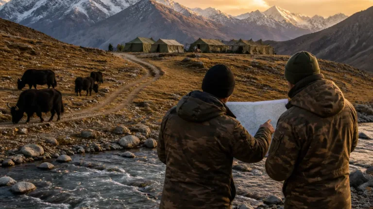
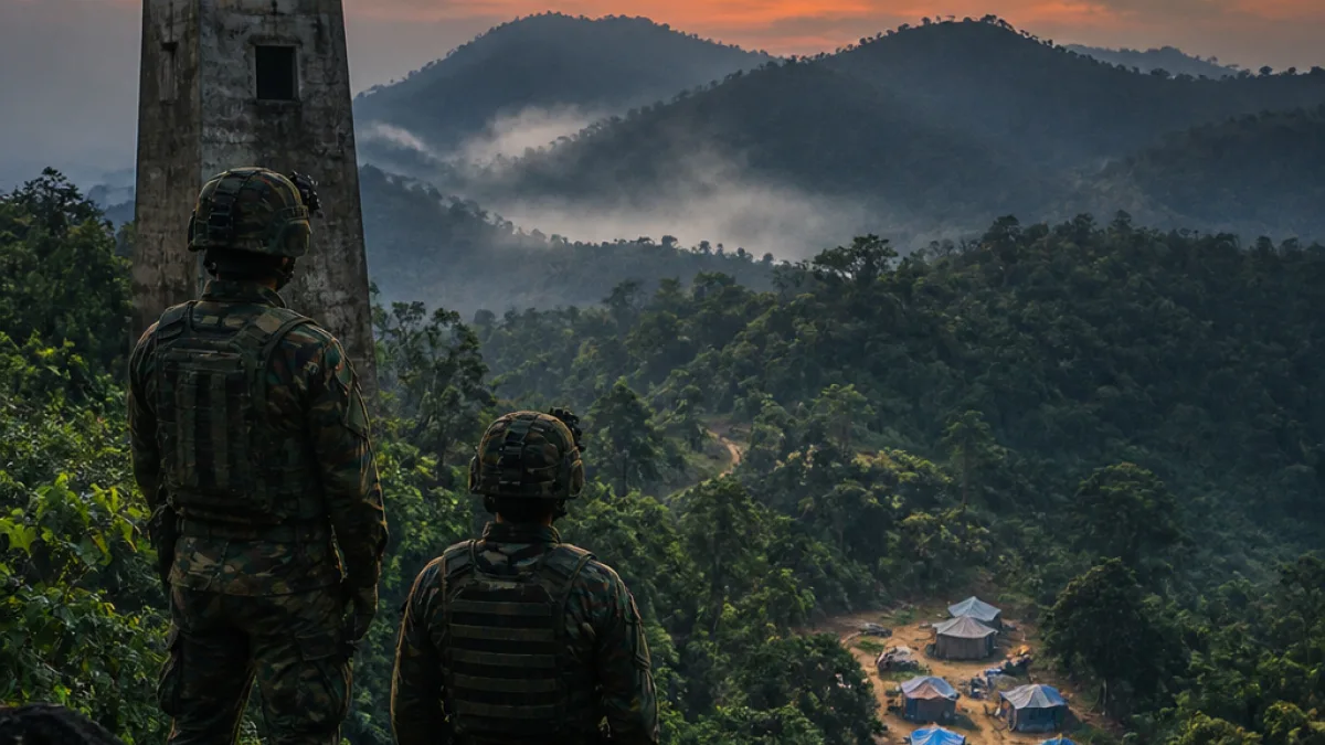
The frontier runs through the hill districts of Churachandpur, Chandel, Tengnoupal, Kamjong and Ukhrul. Much of the line is hilly and heavily forested, and significant stretches remain unfenced. Officials and security observers say the terrain, combined with remote settlements and limited permanent surveillance, makes continuous monitoring difficult and complicates efforts to interdict illicit flows.
- Cross‑border movement: agencies have flagged unauthorised movement of people and goods across the frontier, raising concern about infiltration and smuggling.
- Refugee inflows: arrivals from Myanmar’s ongoing conflict have put additional pressure on vulnerable border communities.
- Allegations of armed‑group activity: both Naga and Kuki organisations have accused the other side of using Myanmar bases or groups to strike within India; these claims are competing and contested.
Competing claims and official findings
Naga organisations have alleged that Kuki armed groups, including the Myanmar‑based Kuki National Army‑Burma (KNA‑B), were involved in attacks on Naga villages. In response, Kuki‑Zo organisations blamed the Isak‑Muivah faction of the National Socialist Council of Nagalim (NSCN‑IM) and other Naga armed elements. These assertions are rival accounts of the same incidents rather than mutually confirmed findings.
The KNA‑B denied having an operational presence in India and accused authorities of attempting to scapegoat the group. Separately, Manipur Police said that an intelligence report alleging the infiltration of more than 900 trained Kuki militants from Myanmar could not be substantiated on the ground. The police statement, as reported, underlines that the evidence for a large‑scale foreign hand in the violence has not been established.
Strategic implications for security management
The presence of an insecure international frontier adds a layer of complexity to a conflict driven primarily by unresolved ethnic, territorial and political disputes. Security officials describe the Myanmar boundary as a factor that amplifies risks and complicates law‑and‑order responses, but current public reporting does not confirm a broader, coordinated external intervention in Manipur’s violence.
| District | Border role |
|---|---|
| Churachandpur | Hill district on southern frontier |
| Chandel | Border district with mixed terrain |
| Tengnoupal | Contains Moreh, principal customs and immigration point |
| Kamjong | Remote eastern hills |
| Ukhrul | Northern hill district bordering Sagaing Region |
Moreh in Tengnoupal district remains the state’s primary land customs and immigration point opposite Tamu in Myanmar’s Sagaing Region. The Moreh‑Tamu corridor is a major commercial gateway and its regulation presents a continuing security and administrative challenge amid the conflict.
Public reporting emphasises that while allegations about foreign‑based fighters circulate, investigators and police statements so far have not produced conclusive proof of a large, organised external force operating inside India. The cross‑border element nevertheless sharpens the operational requirements for surveillance, intelligence sharing and coordination between state and central agencies tasked with stabilising the region.